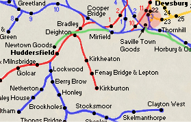
Kirkburton Branch
The line was originally intended to be a through route to Barnsley &
the coal fields, Kirkburton was as far as it went.
Enough land was taken to allow for two tracks, but only one was
laid.
Construction started at Deighton on 10th March 1865, with the
laying of contractors sidings.
Eckersley & Bayliss were the main contactor & the subcontractors were
Sigley, Miles & Haynes for the viaducts
& Fawcett & son for the buildings.
Construction was heavy going & included two deep cuttings at Fennay bridge station,
about half a million cubic yards of earth were shifted from here.
Most of this was used to construct the embankments for other parts
of the line.
A big area of land was taken between Kirkheaton station & the
bridge over Wakefield road, for the construction of a goods yard, had the line been
extended.
|
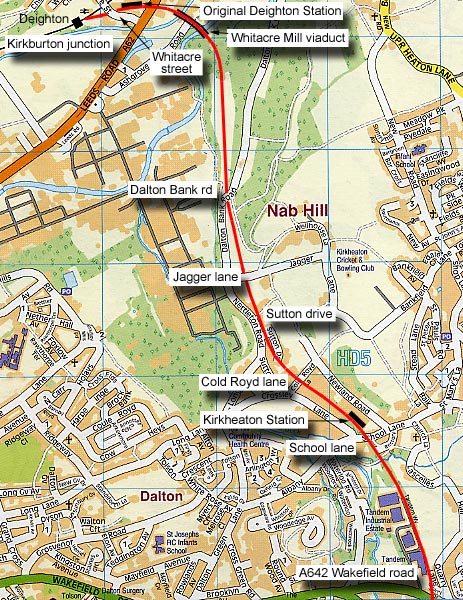
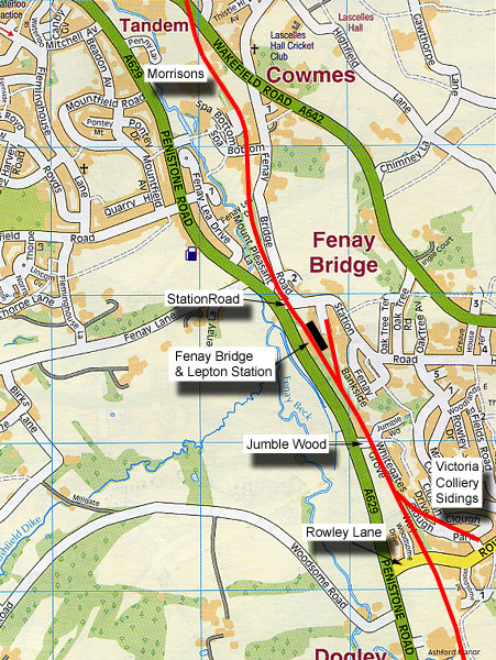
Kirkburton Junction to Wakefield road
section
You are here : Map 1
Kirkburton Junction to Wakefield road |
 |
|
Hybrid map (roads 2005 rails1930)
Kirkburton Junction to Wakefield road
section
 |
|
 Railway Ramblers gazetteer Railway Ramblers gazetteer
See also the Railway Ramblers gazetteer -
Kirklees - LNWR Deighton (Kirkburton junction) - Kirkburton |
/024%20Deighton_small.jpg) Kirkburton
junction Kirkburton
junction
Kirkburton junction & Deighton station map (1890) : Malcolm Mallison
6 inch maps from the 1890 survey. |
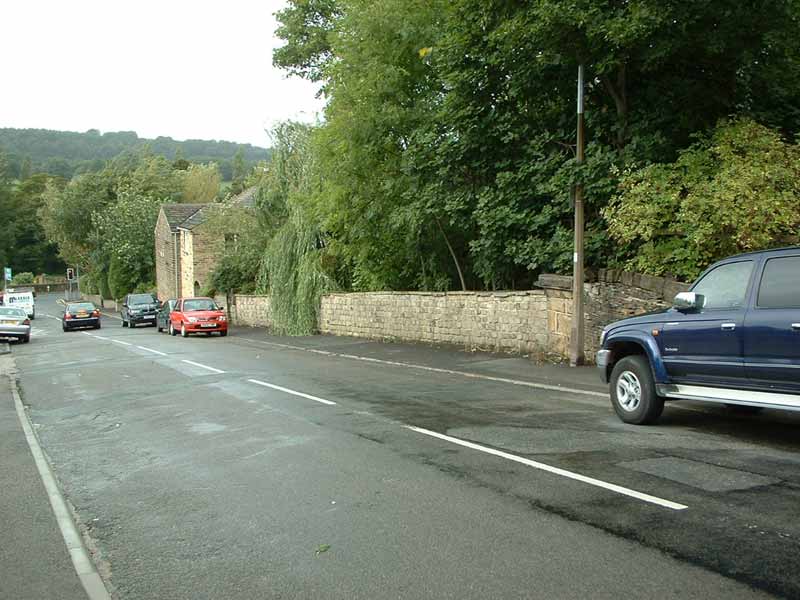
 Kirkburton
Junction (17-09-06) : Andrew Stopford Kirkburton
Junction (17-09-06) : Andrew Stopford |
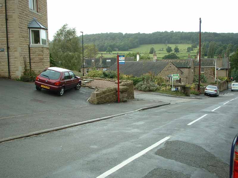
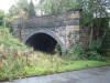
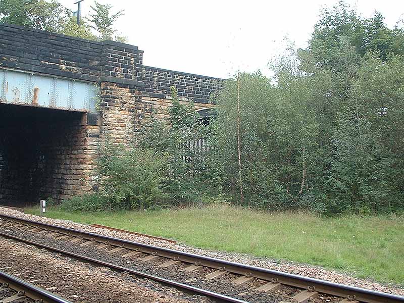
 A62 bridge
abutment (17-09-06) :
Andrew Stopford A62 bridge
abutment (17-09-06) :
Andrew Stopford
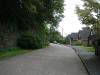
Leeds road between old Deighton station site & Whitacre Mill
Viaduct. |
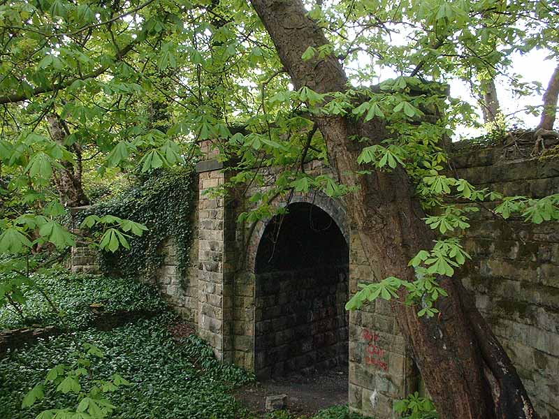
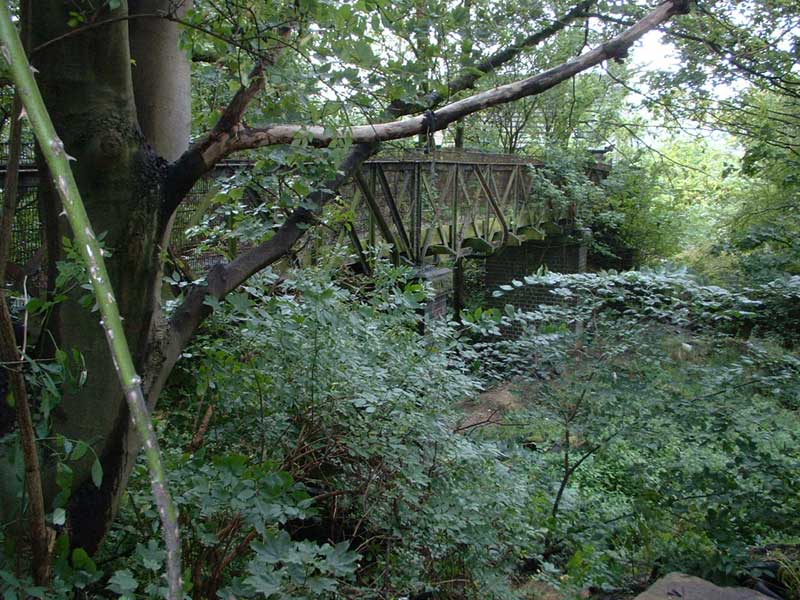
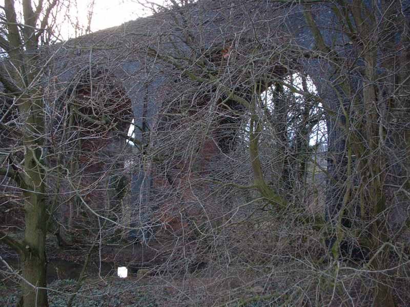
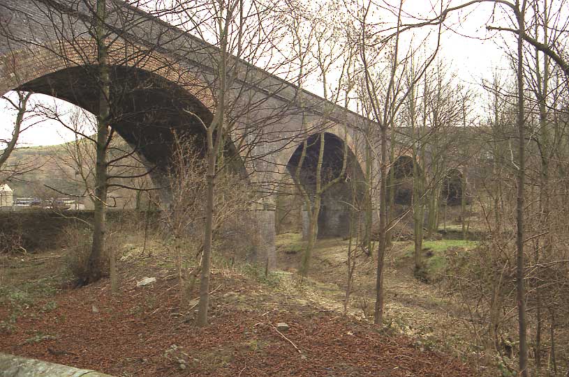
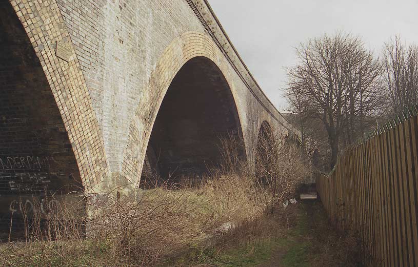
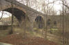 Whitacre
mill viaduct facing East (22-02-04) :
David Webdale Whitacre
mill viaduct facing East (22-02-04) :
David Webdale
Whitacre mill viaduct taken from Ashgrove road. |
 Whitacre
mill viaduct facing East (22-02-04) : David Webdale Whitacre
mill viaduct facing East (22-02-04) : David Webdale
Taken from Huddersfield
Broad Canal towpath.
At 2 am on the 15th Feb 1866, whilst the viaduct was still under
construction,
the two arches shown here collapsed. |
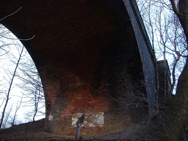
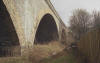 Whitacre
mill viaduct facing South (22-02-04) : David Webdale Whitacre
mill viaduct facing South (22-02-04) : David Webdale
From Huddersfield
Broad Canal towpath. The viaduct was built on a curve with a radius of 22 chains to the mile
&
consists of seven arches, each with a 94 ft span & a rise of 21
feet 4 inches. |
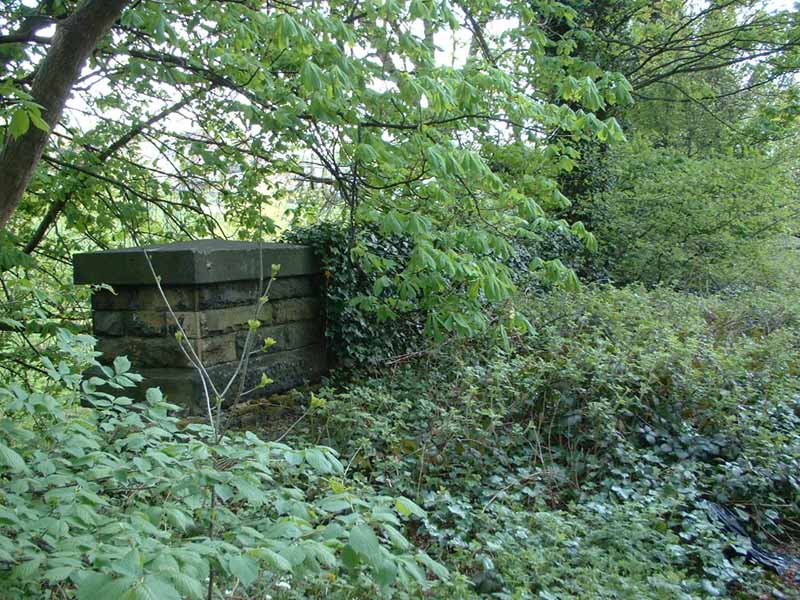
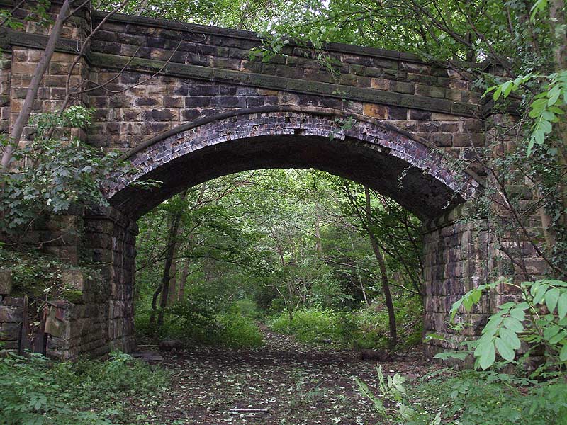
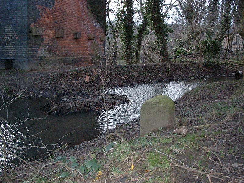
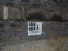 Whitacre Mill Viaduct BRB identifier
(17-09-06) : Andrew Stopford Whitacre Mill Viaduct BRB identifier
(17-09-06) : Andrew Stopford |
 Dalton Bank Rd
(17-09-06) :
Andrew Stopford Dalton Bank Rd
(17-09-06) :
Andrew Stopford
Looking towards Deighton. |
 Dalton
Bank Rd (17-09-06) : Andrew Stopford Dalton
Bank Rd (17-09-06) : Andrew Stopford
Looking towards Kirkburton |
 Jagger Lane
(17-09-06) : Andrew
Stopford Jagger Lane
(17-09-06) : Andrew
Stopford |
 Nettleton Terrace
(17-09-06) : Andrew
Stopford Nettleton Terrace
(17-09-06) : Andrew
Stopford |
 Sutton Drive
(17-09-06) : Andrew
Stopford Sutton Drive
(17-09-06) : Andrew
Stopford |
 School Lane
(17-09-06) : Andrew
Stopford School Lane
(17-09-06) : Andrew
Stopford |
 Bridge
(12-04-08) : Andrew Stopford Bridge
(12-04-08) : Andrew Stopford
Just south of School Lane and just north of the
Tandem business park that's built over the trackbed. |
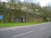
Kirkheaton Station
2/15A_0015_small.jpg) Opened 07-10-1867. Closed 28-07-1930. Opened 07-10-1867. Closed 28-07-1930.
Kirkheaton station
map (1890) : Malcolm Mallison |
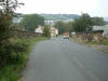
 Kirkheaton
(13-01-07) : Andrew Stopford Kirkheaton
(13-01-07) : Andrew Stopford
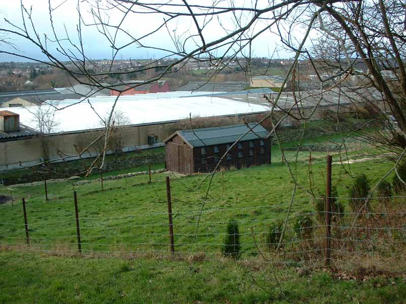
Just past Kirkheaton Station site (Kirkburton side) - building over
trackbed
(low embankment visible behind wooden shed at centre of shot) |
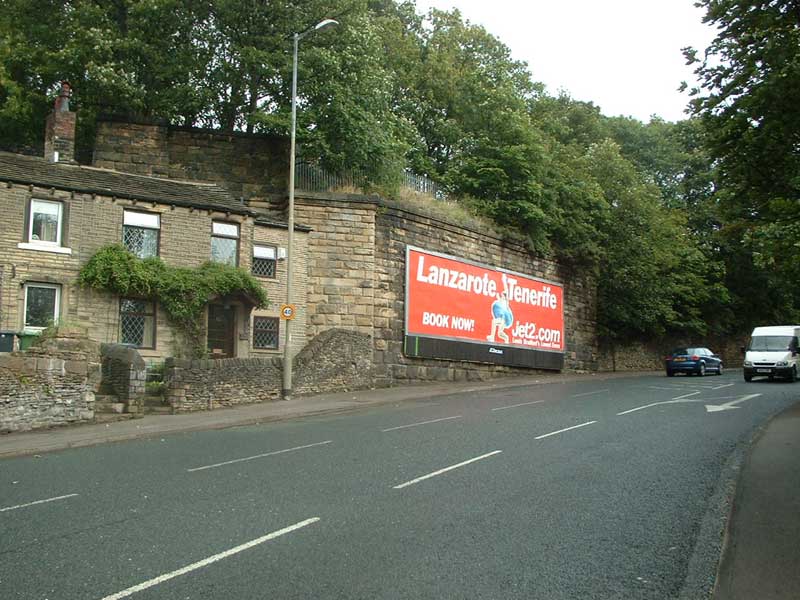
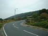
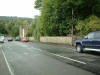
 Wakefield
road (03-09-06) : Andrew Stopford Wakefield
road (03-09-06) : Andrew Stopford
Abutement, Wakefield Rd, Waterloo (near Lascelles Hall Rd)
|
|
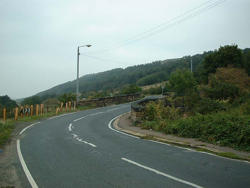
Wakefield road To Rowley Viaduct section
|
You are here : Map 2
Wakefield road to Rowley viaduct
|
|
|
Hybrid map (roads 2005 rails1930)
Wakefield road
To Rowley section
 |
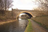
 Waterloo
bridge (28-04-07) :
Andrew Stopford Waterloo
bridge (28-04-07) :
Andrew Stopford
Found another small bridge on the Kirkburton
branch - just behind Morrison's at Waterloo,
junction of Sheffield & Wakefield Rd
(near the Yorkshire Traction
garage).
This photo from the Morrison's side of the bridge. |
 Waterloo
bridge (28-04-07) :
Andrew Stopford Waterloo
bridge (28-04-07) :
Andrew Stopford
And the other side. |
 Waterloo
bridge (28-04-07) :
Andrew Stopford Waterloo
bridge (28-04-07) :
Andrew Stopford
Parapet from the trackbed looking towards
Kirkburton. |
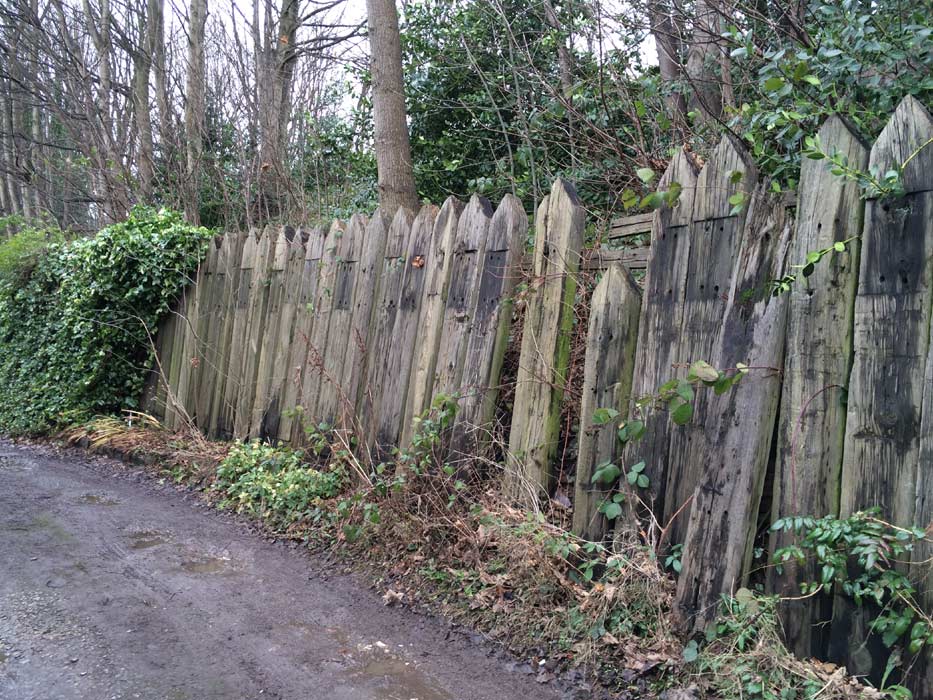
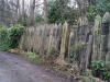 Spa
Terrace (23-12-14) : David Major Spa
Terrace (23-12-14) : David Major
Fence behind Spa Terrace just off Spa Bottom, Fenay Bridge.
It appears
to be made from the old railway sleepers from the line which ran along
the top of the banking, directly behind the row of terrace housing.
(Bank now completely overgrown, as this photo shows.) |
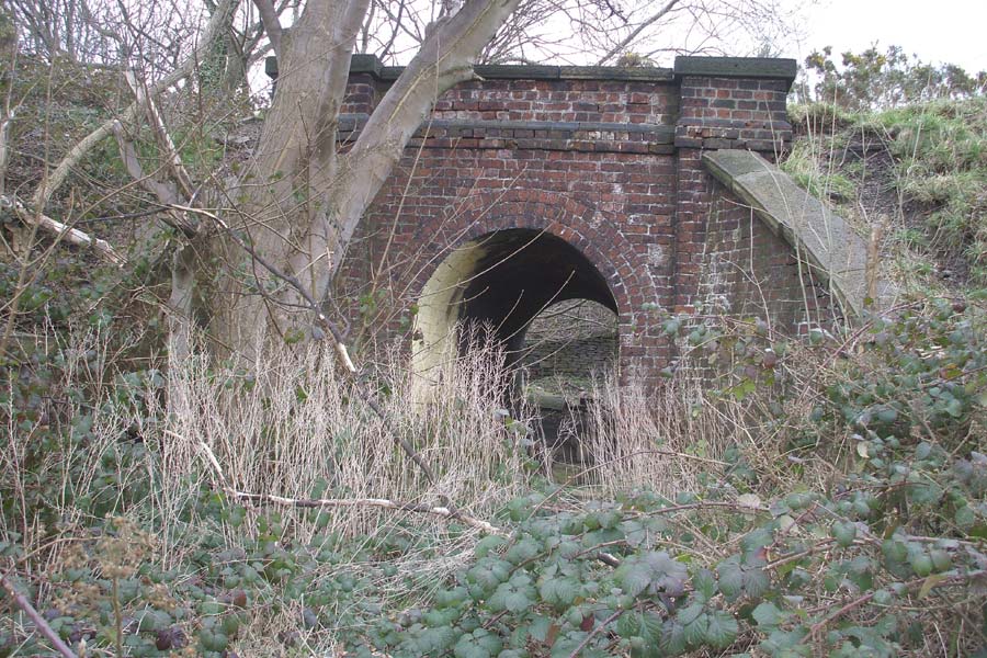
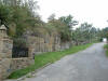
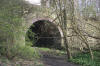
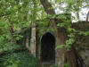
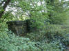
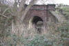
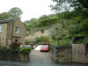
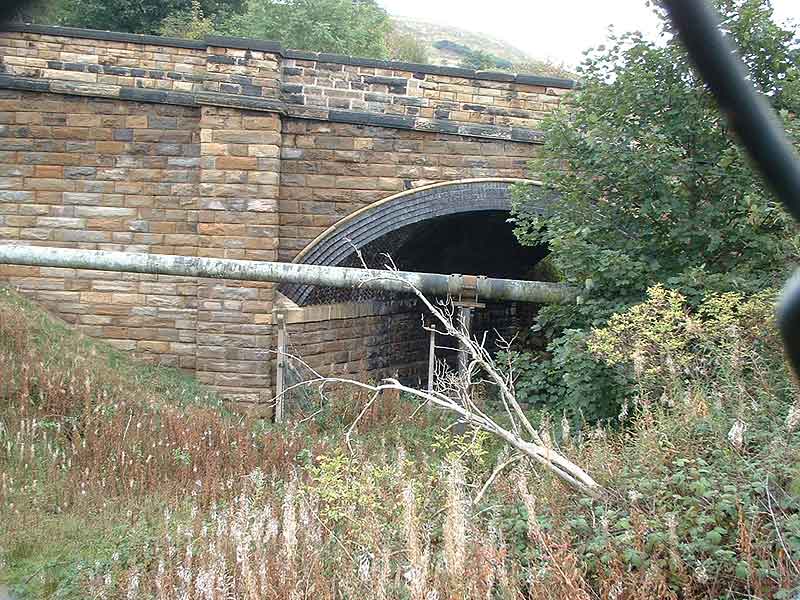
 Bridge
(03-09-06) :
Andrew Stopford Bridge
(03-09-06) :
Andrew Stopford
Substantial relic north of Fenay Bridge between Fenay Bridge Rd &
Penistone Rd
(and you can see the rain falling!) |
 Footbridge
(03-09-06) :
Andrew Stopford Footbridge
(03-09-06) :
Andrew Stopford
Footbridge north of Fenay Bridge. |
 Footbridge
(03-09-06) : Andrew Stopford Footbridge
(03-09-06) : Andrew Stopford
View of trackbed from footbridge looking north. |
Fenay
Bridge & Lepton
Opened 07-10-1867. Closed 28-07-1930.
 Bridge
(03-09-06) : Andrew Stopford Bridge
(03-09-06) : Andrew Stopford
Abutement at Fenay Bridge. |
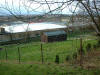
 Jumble
wood (03-09-06) : Andrew
Stopford Jumble
wood (03-09-06) : Andrew
Stopford
Jumble Wood. |
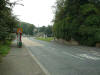
 Bridge
(03-09-06) : Andrew Stopford Bridge
(03-09-06) : Andrew Stopford
There was a bridge here - abutements gone but you can see where it was -
by the lamppost on the right and the red Nissan on the left |
 Bridge
(03-09-06) : Andrew Stopford Bridge
(03-09-06) : Andrew Stopford
Looking the other way - you can see remains by the bus stop, and
underneath the 'for sale' sign. |
 Bridge
(18-11-07) : Andrew Stopford Bridge
(18-11-07) : Andrew Stopford
Occupation bridge, just after Fenay Bridge going
towards Kirkburton. |
 Bridge
(17-03-08) : Andrew Stopford Bridge
(17-03-08) : Andrew Stopford
I saw a shot on flickr of a bridge on the Kirkburton
Branch that I hadn't seen.
Found it today just north of Rowley Viaduct - it was obviously
pedestrian access only! |
|
Rowley viaduct to Kirkburton station section
|
You are here : Map 3
Rowley viaduct to Kirkburton station
|
|
|
Hybrid map (roads 2005 rails1930)
Rowley viaduct to Kirkburton station section
 |
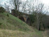
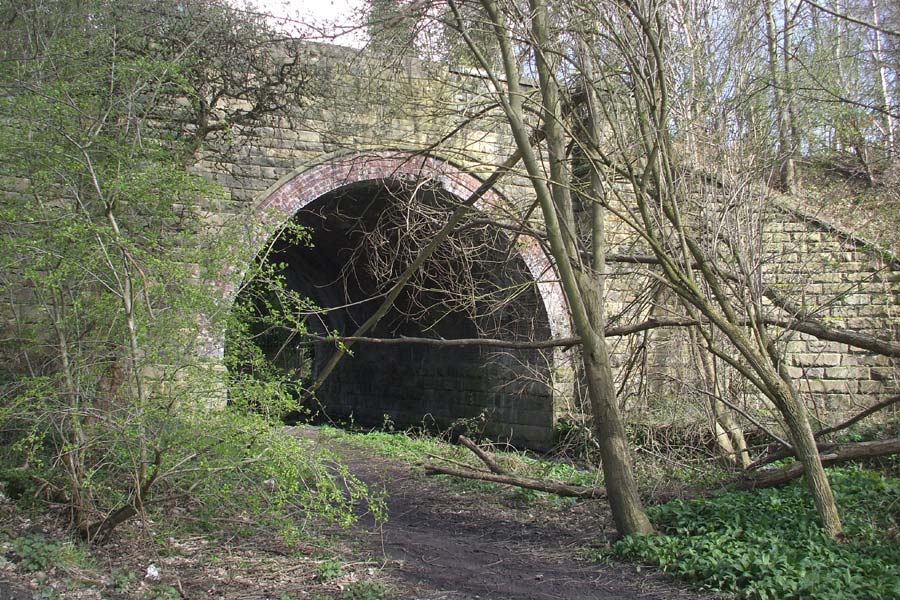
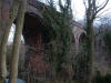 Rowley
Viaduct (13-01-07) : Andrew Stopford Rowley
Viaduct (13-01-07) : Andrew Stopford
Rowley Viaduct - accessed by a footpath from
housing estate off Rowley Lane.
I tried to get on the viaduct but the trackebed is an impenetrable mass
of gorse & brambles.
It's difficult to get a 'bigger' shot because you can't see the viaduct
till you get to it. |
 Rowley
Viaduct (13-01-07) :
Andrew Stopford Rowley
Viaduct (13-01-07) :
Andrew Stopford
Inside of arch giving some idea of size |
 Rowley
Viaduct (13-01-07) :
Andrew Stopford Rowley
Viaduct (13-01-07) :
Andrew Stopford
Detail of brickwork - typical LNWR style blue engineering
brick showing water damage due to lost drainpipe |
 Rowley
Viaduct (13-01-07) :
Andrew Stopford Rowley
Viaduct (13-01-07) :
Andrew Stopford |
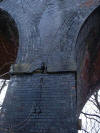
 Rowley
Viaduct & LNWR marker post (13-01-07) : Andrew Stopford Rowley
Viaduct & LNWR marker post (13-01-07) : Andrew Stopford
Clearer shot of LNWR marker stone. You can just about make out 'LNWR'
on
it. |
 Rowley
Viaduct (13-01-07) : Andrew Stopford Rowley
Viaduct (13-01-07) : Andrew Stopford
Looking onto deck towards Huddersfield - significant tree
growth all the way across! |
 Rowley
Viaduct (13-01-07) : Andrew Stopford Rowley
Viaduct (13-01-07) : Andrew Stopford
Looking towards Kirkburton |
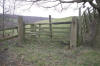 Crossing
(17-03-08) : Andrew Stopford Crossing
(17-03-08) : Andrew Stopford
Occuption crossing just south of Rowley Viaduct. |
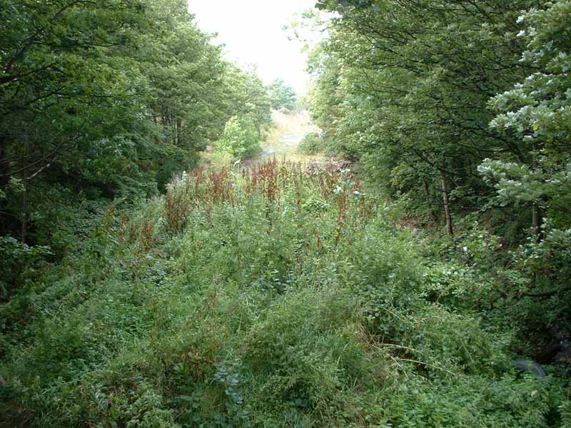
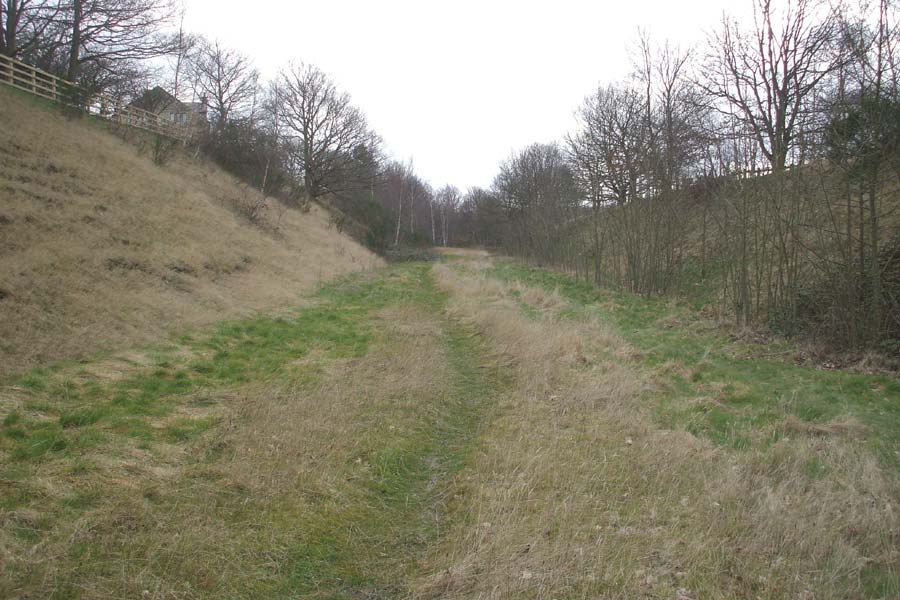
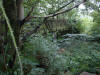
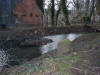
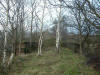
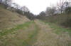 Trackbed
(17-03-08) : Andrew Stopford Trackbed
(17-03-08) : Andrew Stopford
Trackbed between Rowley Viaduct
and Kirkburton. |
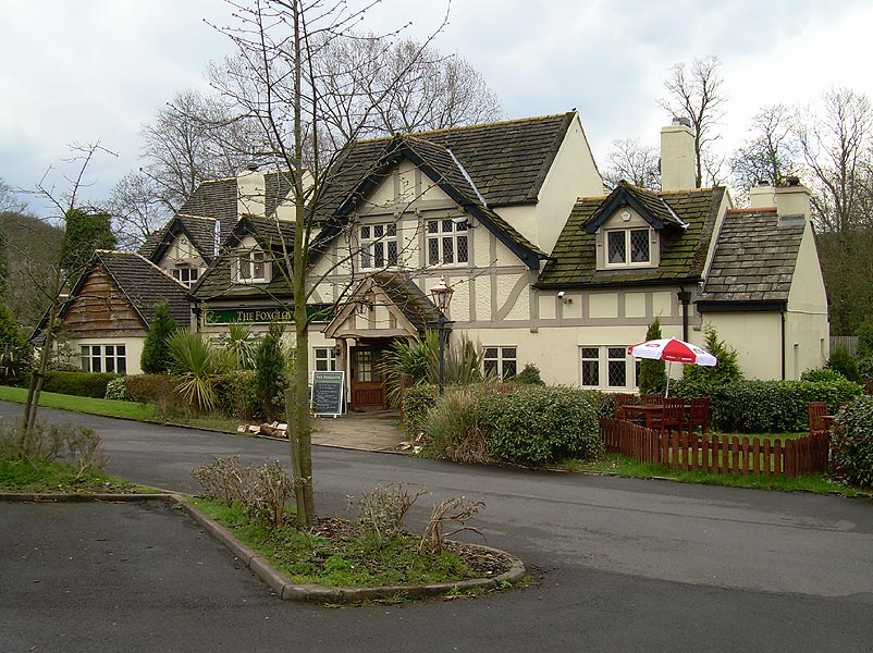
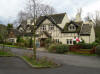 The
Foxglove pub (24-04-08) :
David Webdale The
Foxglove pub (24-04-08) :
David Webdale
Situated near to the site of Kirkburton station, on the opposite side of Penistone road.
Originally called the Railway Junction Inn, named in anticipation of a proposal in 1864 by the Midland railway
to construct an extension from Barnsley
to a junction with the L.N.W.R at Kirkburton. |
Kirkburton
Station
 Opened 07-10-1867. Closed
26-07-1930. Freight 05-05-1965. Opened 07-10-1867. Closed
26-07-1930. Freight 05-05-1965.
Kirkburton Station (03-09-06)
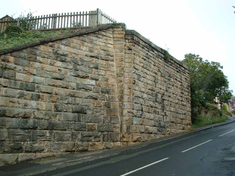
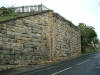
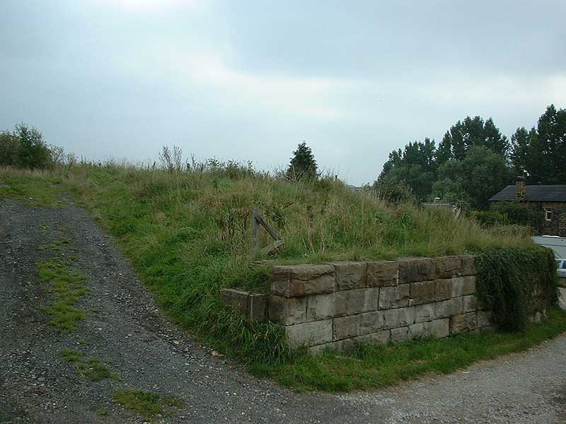
: Andrew Stopford
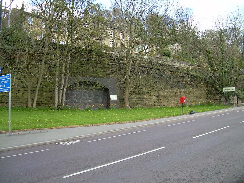
Looking up at an obvious railway built retaining wall at Kirkburton
Station site. |
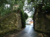
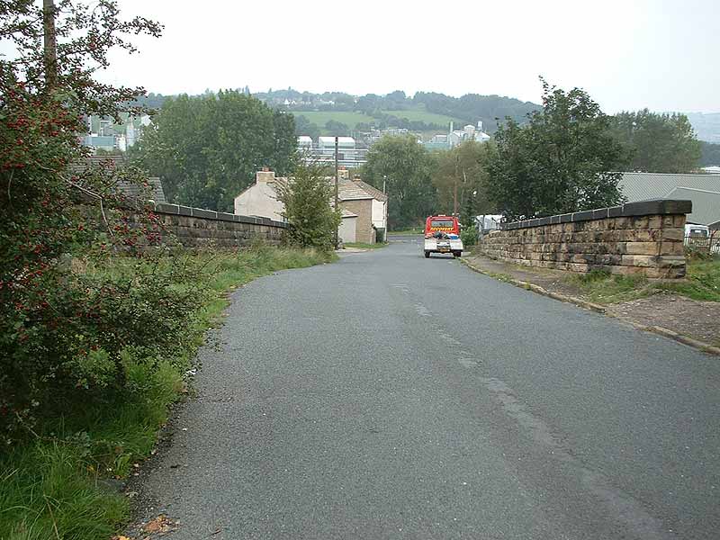
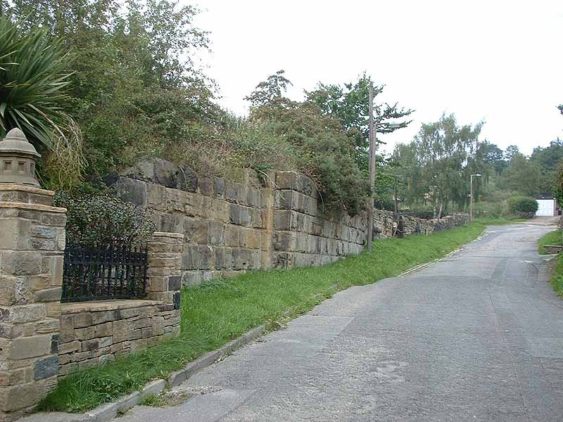
 Kirkburton Station (11-09-06)
: Andrew Stopford Kirkburton Station (11-09-06)
: Andrew Stopford
Kirkburton station site, now a housing estate.
I'm looking towards the buffer stops. Hard to tell apart from the wall
on the left! |
 Kirkburton
Station footbridge (17-09-06) : Andrew
Stopford Kirkburton
Station footbridge (17-09-06) : Andrew
Stopford
Not too easy to tell but it's the remains of the
steps down to the footbridge that crossed over Kirkburton Station throat.
The bridge has gone but the steps have been continued down to trackbed level
so the path is still open.
You can see the brick work on the descending
flight of steps. |
Kirkburton Station (24-04-08) : David
Webdale
 Brick arch shaped arrangement situated at the end
of the station goods yard area on North Road. Brick arch shaped arrangement situated at the end
of the station goods yard area on North Road.
Don't know what its for, heard a rumour that there was a tunnel leading
to a pit around here somewhere, not seen it on any maps.
Note : Roger Lynch
You talk about the mines round the station. Not sure
about the brick arch under Slant Gate but on the Geology map it is near
an outcrop of coal.
There is an adit just before you get into the Station. As you approach
the station there was a footbridge over the lines.
This leads to some steps up to Slant Gate. Part way up the steps on the
right there is a flat area and not far on this is the adit to a coal
mine.
There were numerous mine entrances round the other side of Penistone
Road from the Station. |

/024%20Deighton.jpg)


2/15A_0015.jpg)