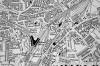
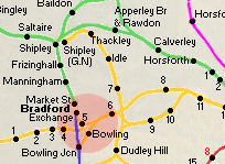
 Laisterdyke
& Cutlers Junction Laisterdyke
& Cutlers Junction
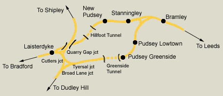
A closer view showing Laisterdyke & all the junctions around Tyersal.
Laisterdyke east junction (situated immediately to the east of
Laisterdyke)
is not labelled on the map.
The Pudsey loop is also shown See
GNR Pudsey Loop
|
 Railway Ramblers gazetteer Railway Ramblers gazetteer
See also the Railway Ramblers gazetteer -
Bradford : GNR Bradford Laisterdyke east junction - Shipley |
Shipley
and Windhill station
 Opened 15-04-1875 Closed 31-01-1931 Opened 15-04-1875 Closed 31-01-1931
Shipley stations map : David Webdale
Both GN & Midland stations shown.
See also Shipley MR |
 Shipley
(c1909) : Malcolm Mallison Shipley
(c1909) : Malcolm Mallison
From the 1909 survey- Saltaire, Shipley (Midland & Great Northern
stations) Frizinghall. |
 Shipley
and Windhill station (c1980s) : Bob Cockcroft Shipley
and Windhill station (c1980s) : Bob Cockcroft
Shipley and Windhill station 1980's. |
 Shipley
and Windhill station (c1980s) : Bob Cockcroft Shipley
and Windhill station (c1980s) : Bob Cockcroft
Shipley and Windhill station as scooter store 1980's. |
 Shipley
and Windhill station (1980) : Bob Cockcroft Shipley
and Windhill station (1980) : Bob Cockcroft
Garage with Shipley canopy on Ilkley Road 1980. |
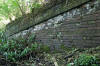
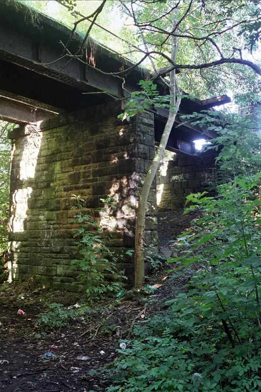
 Dock
Lane (25-09-12) : Malcolm Mallison Dock
Lane (25-09-12) : Malcolm Mallison
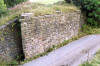
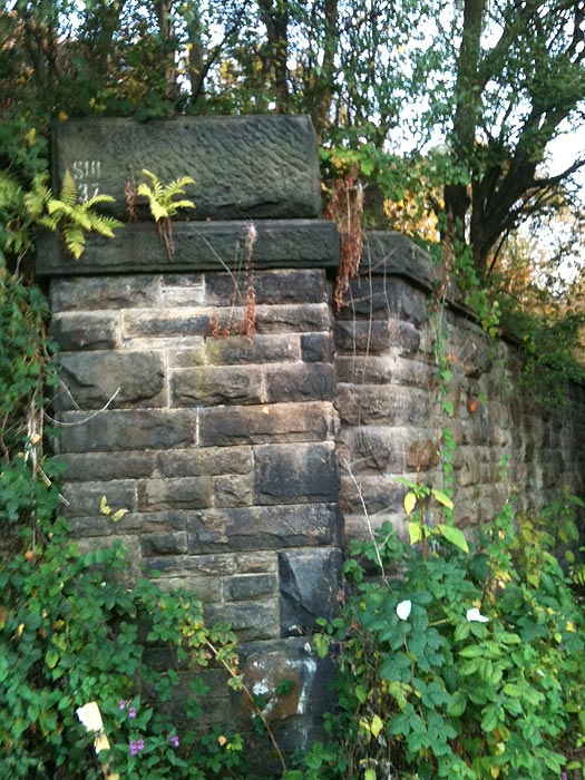
Abutments of bridge crossing Dock Lane, Shipley.
Presumably
another bridge crossed the canal (closed, I believe 1922) to the
right, but access not easy. |
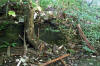
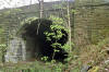
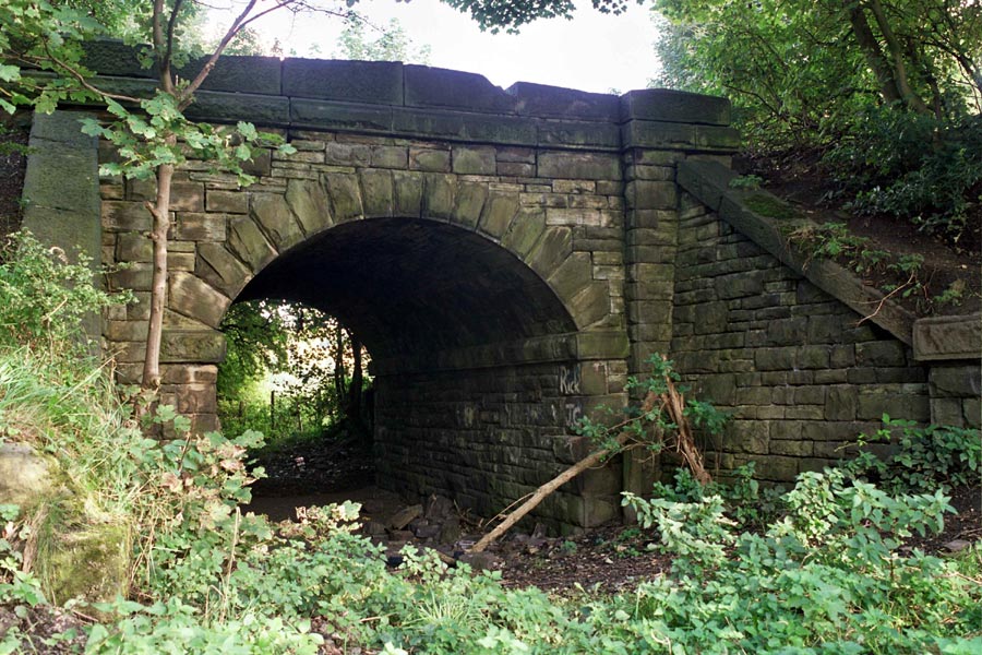
 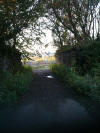 Dock
Lane near Shipley. Bridge removed & north
east buttress (29-09-11) : Robert Parker Dock
Lane near Shipley. Bridge removed & north
east buttress (29-09-11) : Robert Parker
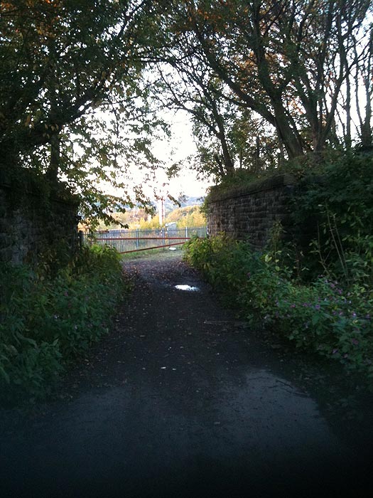
These photos were taken just outside Shipley near a footbridge over the
Airedale line just off Dock Lane.
They show the route toward Thackley looking from Shipley and vice versa, and where a bridge once was.
First photo is the removed bridge & the second photo is the north east
buttress. |
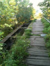  Dock
Lane near Shipley. Footbridge (29-09-11) :
Robert Parker Dock
Lane near Shipley. Footbridge (29-09-11) :
Robert Parker
The old footbridge which is still in use, but not very safe. |
 Footbridge (25-09-12) : Malcolm Mallison Footbridge (25-09-12) : Malcolm Mallison
Desperately ratty footbridge over track. Note daylight through
decking. |
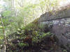
  Dock
Lane near Shipley. Trackbed (29-09-11) :
Robert Parker Dock
Lane near Shipley. Trackbed (29-09-11) :
Robert Parker
First photo, facing towards Shipley & second photo facing
towards Thackley. |
 Thackley
Old Road (25-09-12) : Malcolm Mallison Thackley
Old Road (25-09-12) : Malcolm Mallison
Another bridge, over a nameless track off Thackley Old Road. Note
period Rover in background. |
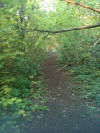
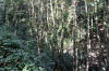
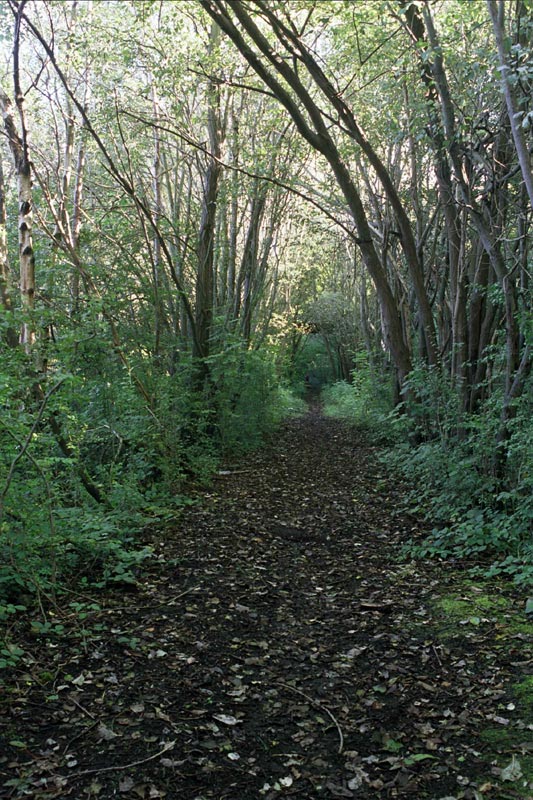
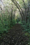 Trackbed (25-09-12) : Malcolm Mallison Trackbed (25-09-12) : Malcolm Mallison
From this point the trackbed is readily walkable, if muddy in
places. |
 Farm
crossing (25-09-12) : Malcolm Mallison Farm
crossing (25-09-12) : Malcolm Mallison
Old farm crossing. |
 Farm
crossing (25-09-12) : Malcolm Mallison Farm
crossing (25-09-12) : Malcolm Mallison
More bridge remains, giving access to farm. |
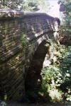
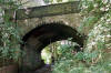
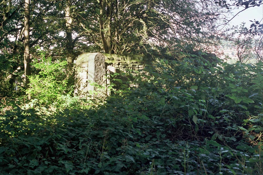
 Windhill
Old Road (25-09-12) : Malcolm Mallison Windhill
Old Road (25-09-12) : Malcolm Mallison
Fine bridge across Windhill Old Road. This is the end of the walk
able section. |
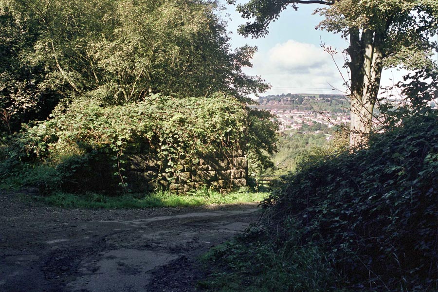
 Ballantyne
Rd (nd) : Malcolm Mallison Ballantyne
Rd (nd) : Malcolm Mallison
Between Windhill Old Rd and Thackley station, bridge at
Ballantyne Rd. |
/032%20Thackley_small.jpg) Thackley station Thackley station
Opened 01-03-1878 Closed 31-01-1931
Thackley station map (1890) : Malcolm Mallison
6 inch maps from the 1890 survey.
Midland Leeds Bradford via Shipley line
visible top left. |
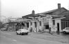
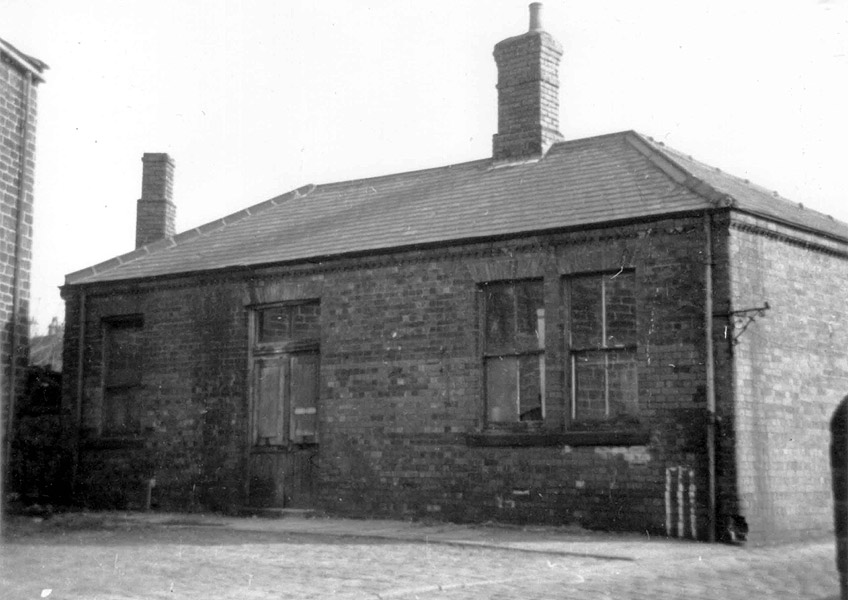
 Thackley
station (1967) : Bob Cockcroft Thackley
station (1967) : Bob Cockcroft
Thackley station and approach ramp 1967. |
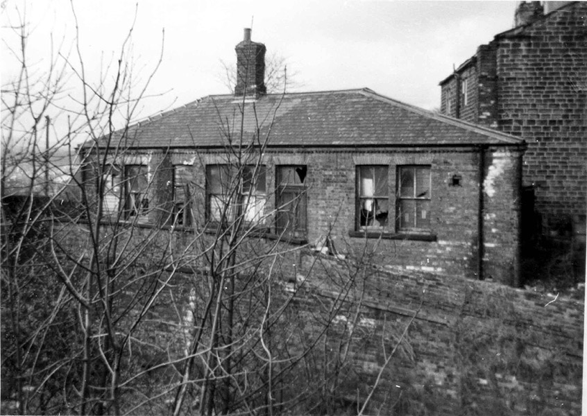
 Thackley
booking office (1967) : Bob Cockcroft Thackley
booking office (1967) : Bob Cockcroft
Thackley booking office 1967. Thackley was built after the rest and had
waiting rooms on the platforms to a similar style to the short lived
building at Chickenly. These were in brick. The building style for the
other three stations was used also at Earlsheaton near Dewsbury,
which
was I think built in 1874. |
  Thackley
station (nd) : Malcolm Mallison Thackley
station (nd) : Malcolm Mallison
Thackley station. Edge of platform & remains of access
ramp. |
 Thackley
station (13-09-15) : Steve Wilson Thackley
station (13-09-15) : Steve Wilson
Edge of platform & remains of access ramp. |
 Thackley
Station (25-09-12) : Malcolm Mallison Thackley
Station (25-09-12) : Malcolm Mallison
Bridge at Thackley Station. One of the station buildings
(whitewashed in top right corner) survives as a private house.
Presumably the platforms were in the cutting. |
 Thackley
Station (25-09-12) : Malcolm Mallison Thackley
Station (25-09-12) : Malcolm Mallison
Same bridge, different view. |
 Thackley
station (13-09-15) : Steve Wilson Thackley
station (13-09-15) : Steve Wilson
Bridge. |
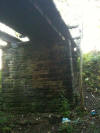
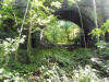
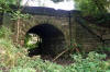
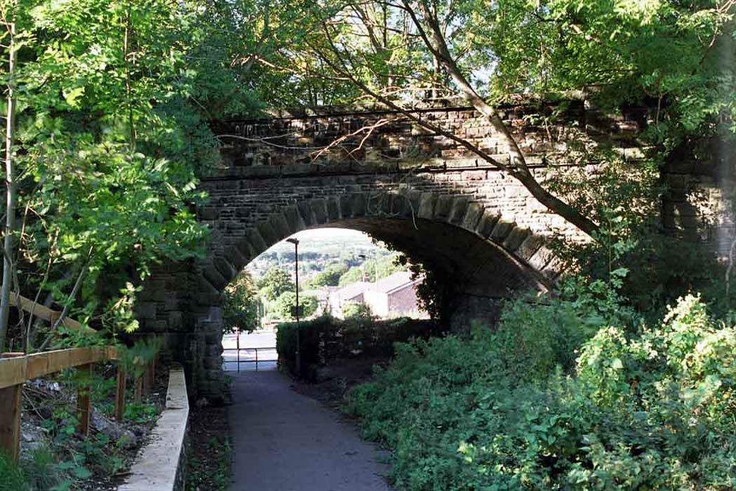
 Bridge (09-05-13) : Malcolm Mallison Bridge (09-05-13) : Malcolm Mallison
Bridge at Thackley station from cutting. |
 Bridge
(13-09-15) : Steve Wilson Bridge
(13-09-15) : Steve Wilson
Bridge at Thackley station from cutting. |
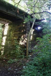
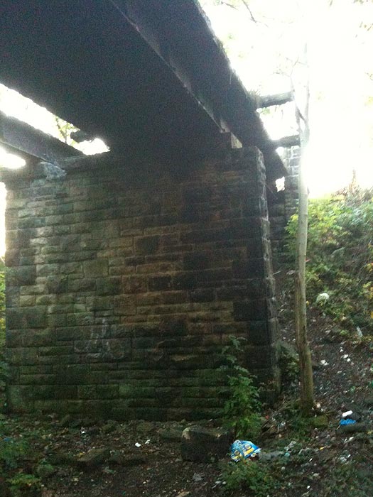
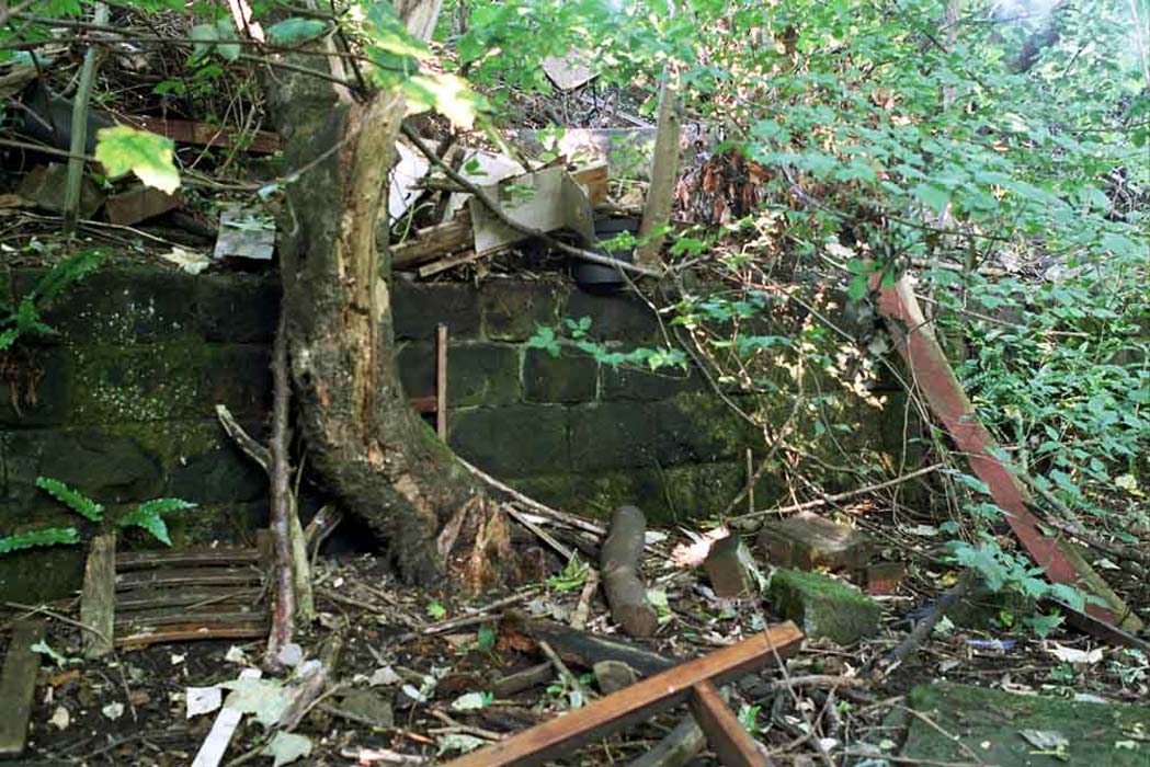
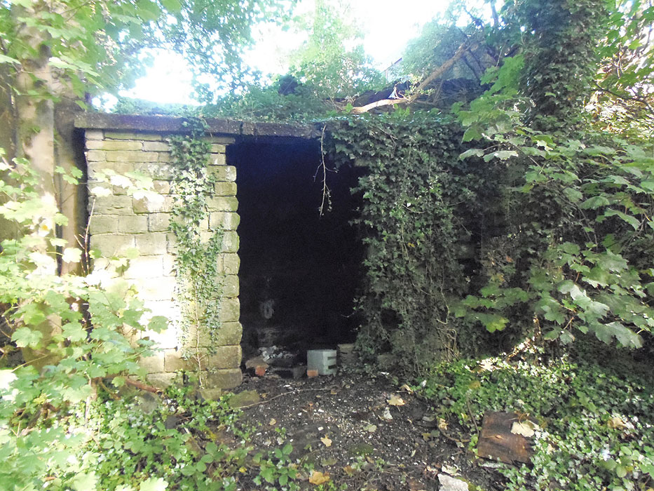
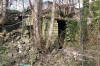 Hut (09-05-13) : Malcolm Mallison Hut (09-05-13) : Malcolm Mallison
Lineside hut next to bridge. |
 Hut
(13-09-15) : Steve Wilson Hut
(13-09-15) : Steve Wilson
Lineside hut next to bridge. |
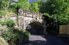
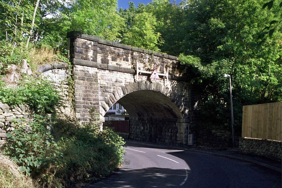
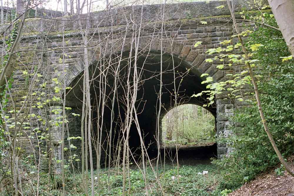
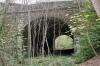  Thackley Road
bridge (25-05-15) : Malcolm Mallison Thackley Road
bridge (25-05-15) : Malcolm Mallison
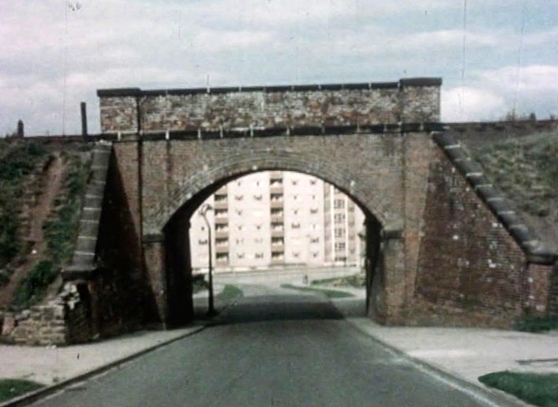
Bridge (almost a tunnel) under Thackley Road (between Thackley station
and A67 Leeds Rd).
www.britainfromabove.org.uk/image/eaw033070 The Thackley Road bridge
is hard up against the top border.
The A657 Leeds Road Bridge is just below it. The bridge (Kingston Road,
behind the mill) has gone. |
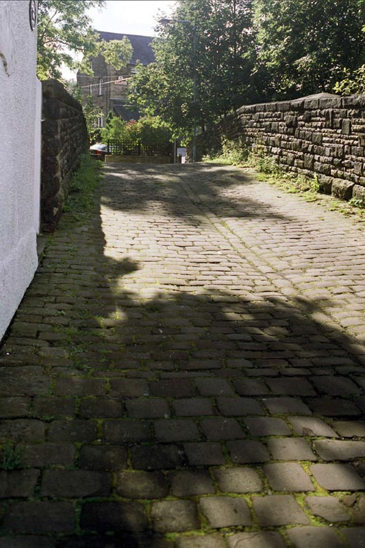
 Thackley
Rd (25-09-12) : Malcolm Mallison Thackley
Rd (25-09-12) : Malcolm Mallison
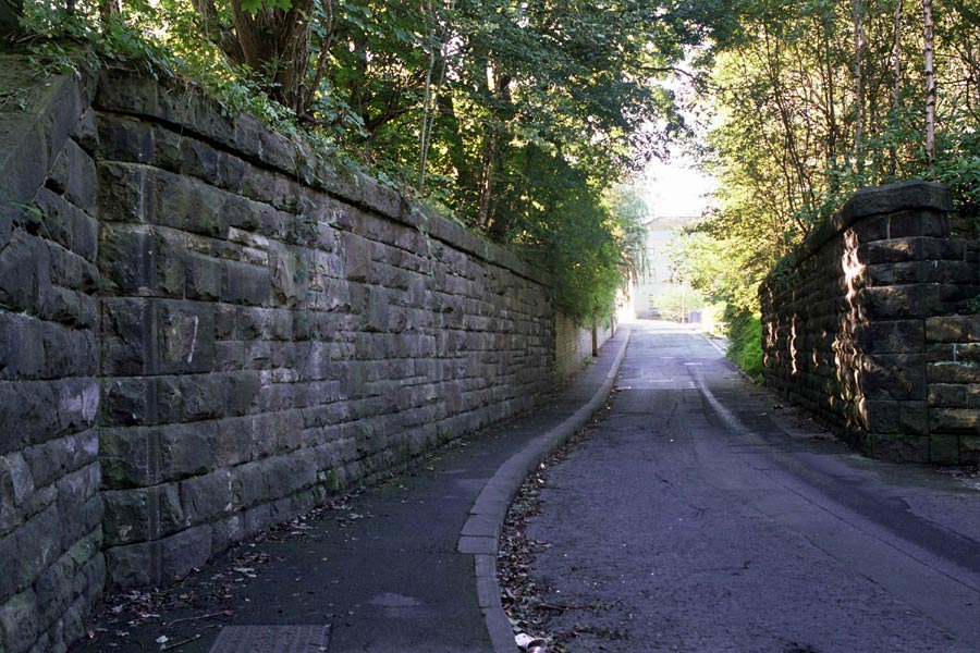
The railway crossed Thackley Rd & A647 Leeds Rd via two bridges
and a deep cutting. Horrendously overgrown and ropes & pitons needed
for descent. According to elderly lady who accosted me at this point,
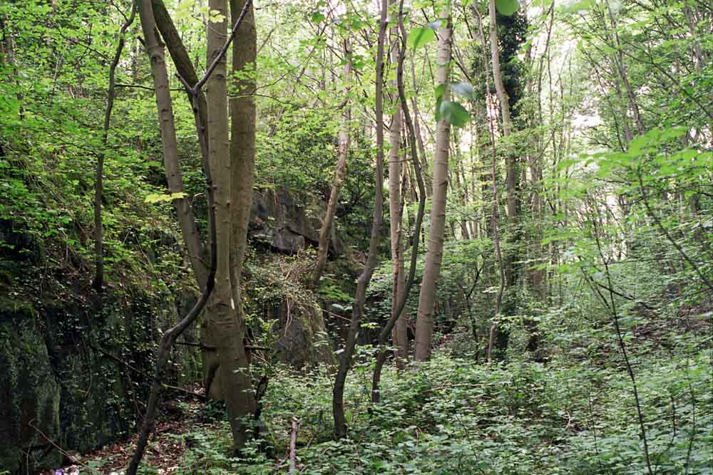
it “used to be lovely” when the trains were still running. |
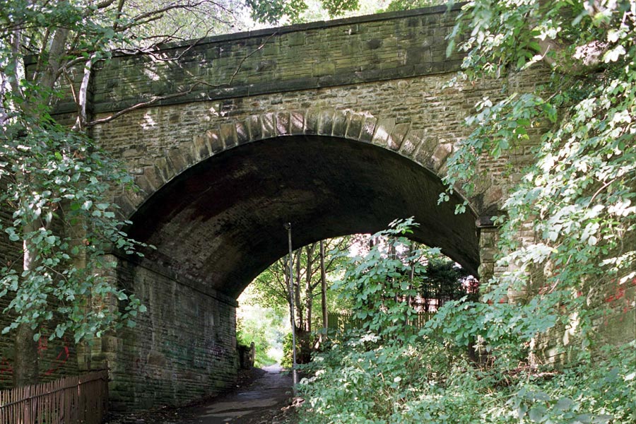
 Leeds
Rd. Bridge (25-09-12) : Malcolm Mallison Leeds
Rd. Bridge (25-09-12) : Malcolm Mallison
Line entirely obscured by new building on opposite side of Leeds
Rd.
Bridge and section of embankment can be picked up at Idle
recreation ground. |
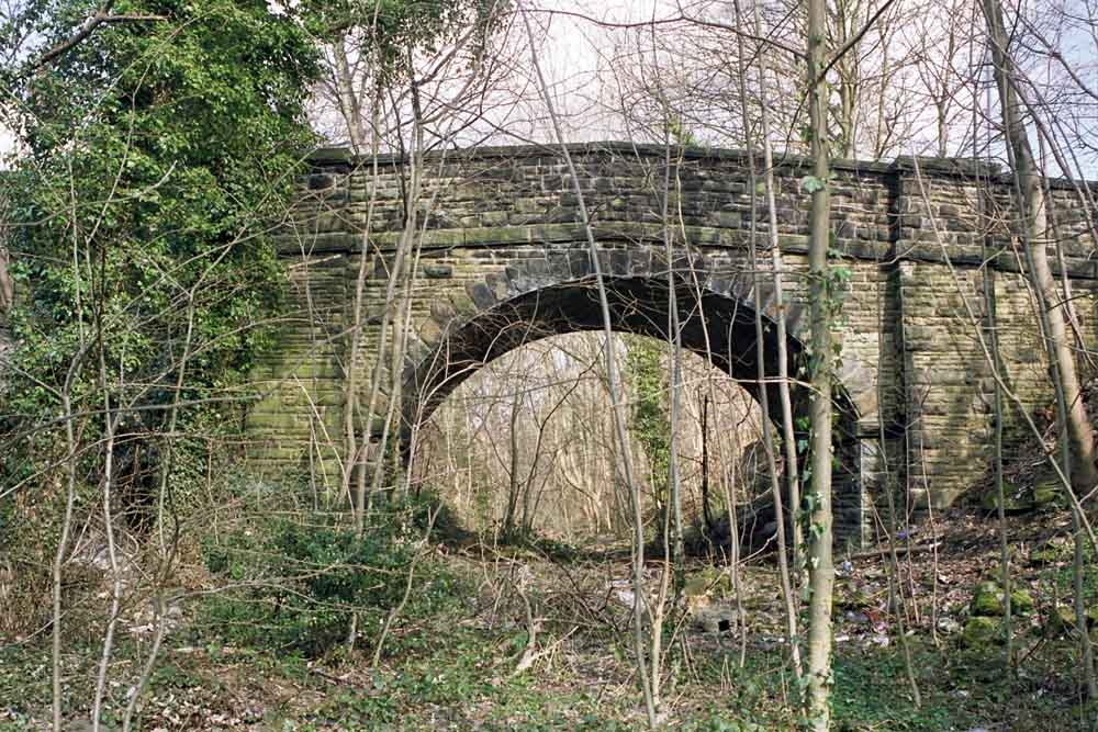
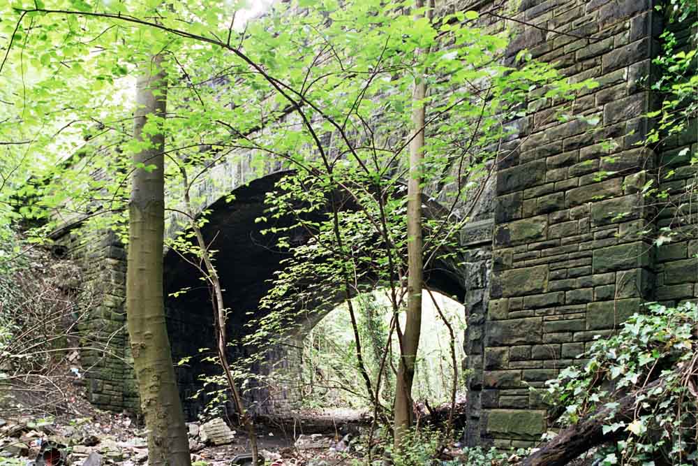
 A657
Leeds road (14-06-14) : Malcolm Mallison A657
Leeds road (14-06-14) : Malcolm Mallison
Bridge carrying A657 Leeds Rd, from the cutting. |
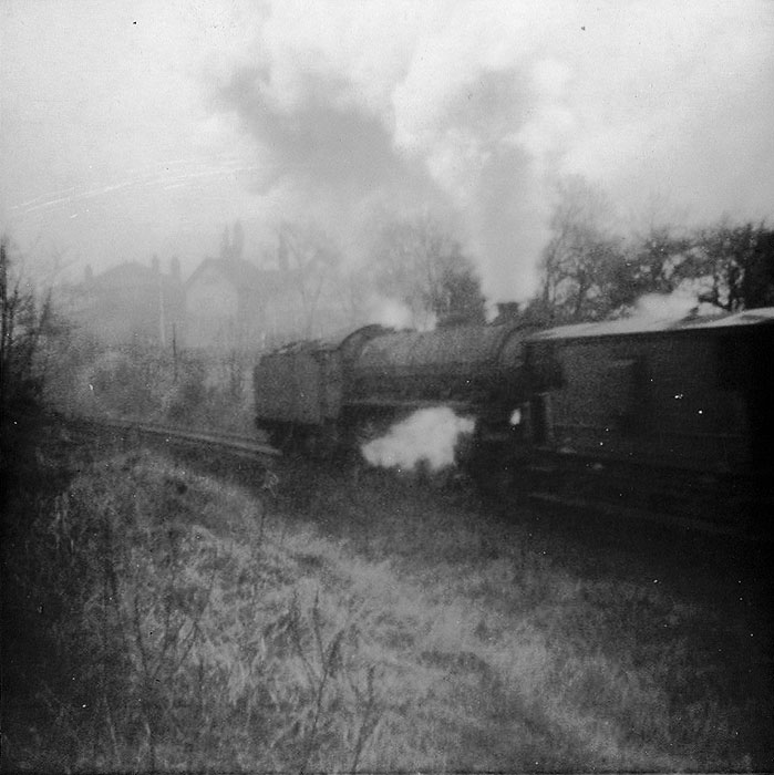
Leeds Road Bridge (c1965) : Steve Wilson
  I
grew up in Harehill Road/ Thackley, with a restricted view of the line
from my bedroom, at the back of the house which looked over the
allotment to the bridge over Leeds road. The shot of the B1 is across
from the bottom of the road with the Leeds road houses in the
background. the stretch along the bottom of the road to Kingston road
was on its way to Idle, plenty of space, clear views of trains, grass
fires in summer and slipping and sliding to a halt in winter even with a
banker. I
grew up in Harehill Road/ Thackley, with a restricted view of the line
from my bedroom, at the back of the house which looked over the
allotment to the bridge over Leeds road. The shot of the B1 is across
from the bottom of the road with the Leeds road houses in the
background. the stretch along the bottom of the road to Kingston road
was on its way to Idle, plenty of space, clear views of trains, grass
fires in summer and slipping and sliding to a halt in winter even with a
banker.
Specials and late night empty stock were memories of the diesel era
which kept the line open that wee while longer through the 50s and 60s, but after
the station closed.
I remember freight being banked up the hill towards
Idle etc, then ecs diversions diesel hauled up to closure.
Unfortunately the only pic i have is the B1 banking just past the Leeds
road bridge in early / mid 60s.
They worked hard up from Windhill and often came to a standstill,
slipping at the bottom of the road. Its so frustrating to have watched
the trains every day and have no pictures of note, same goes with the
main line at Thackley tunnel where we spent hours at the signal box or
the double peg.
|
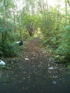
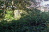
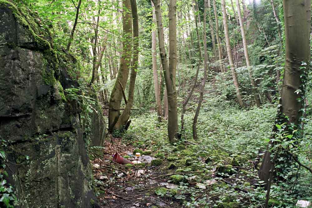
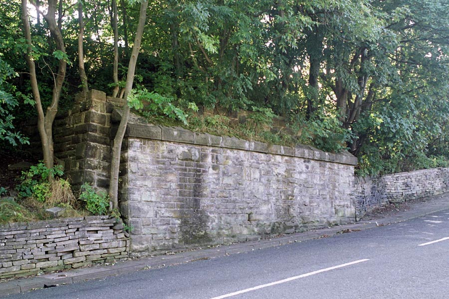
 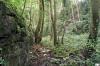 Cutting (14-06-14) : Malcolm Mallison Cutting (14-06-14) : Malcolm Mallison
Cutting, facing towards Thackley Rd. Note tool marks in rock on left
of first photo. |
/018%20Idle_small.jpg) Idle station Idle station
Opened 15-04-1875 Closed 31-01-1931
Idle station map (1890) : Malcolm Mallison
6 inch maps from the 1890 survey. |
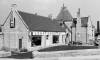
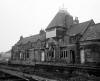
 Idle
station (nd) : Bob Cockcroft Idle
station (nd) : Bob Cockcroft
Idle station. View of platforms and main building towards Shipley. The
buildings on the Bradford direction of the stations were stone huts of
quite primitive design. Eccleshill was basic and plain, Idle had some
sort of mock Tudor pretensions - but still a hut. |
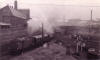
 Idle
Goods shed (1967) : Bob Cockcroft Idle
Goods shed (1967) : Bob Cockcroft
Idle Goods shed and crane 1967. |
  Railway
Road (14-06-14) : Malcolm Mallison Railway
Road (14-06-14) : Malcolm Mallison
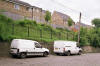
Embankment alongside Railway Rd, Idle (the clue is in the name) now
with houses on top.
Parked vans seem to be a permanent feature. |
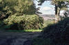
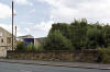
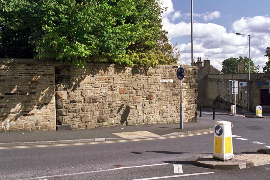
Idle (25-09-12) : Malcolm Mallison
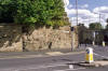 Bridge abutment at bottom of High Street, Idle (next to Railway
St- a bit of a giveaway). Following section completely obliterated by
recent development, with possible exception of short section tarmacked
access road, which might be old track, next to current road. Line of
railway can be followed as strip of undeveloped land on far side of
Bradford road, but then lost in fields and under new housing estate. Bridge abutment at bottom of High Street, Idle (next to Railway
St- a bit of a giveaway). Following section completely obliterated by
recent development, with possible exception of short section tarmacked
access road, which might be old track, next to current road. Line of
railway can be followed as strip of undeveloped land on far side of
Bradford road, but then lost in fields and under new housing estate. |
 Bridge (25-09-12) : Malcolm Mallison Bridge (25-09-12) : Malcolm Mallison
Bridge over Bank. Far side of road has been landscaped. |
 Park
Rd (25-09-12) : Malcolm Mallison Park
Rd (25-09-12) : Malcolm Mallison
Bridge over Park Rd. Far side of road under housing. |
 Rockwell
Lane Railway bridge (c1961) : C.H.Wood video c/o Graham Tyson Rockwell
Lane Railway bridge (c1961) : C.H.Wood video c/o Graham Tyson
Railway bridge over Rockwell Lane, Thorpe Edge. It is taken from a
C.H.Wood video of Thorpe Edge from around 1961. |
/019%20Eccleshill_small.jpg) Eccleshill Station Eccleshill Station
Opened
15-04-1875 Closed 31-01-1931
Eccleshill station map (1890) : Malcolm Mallison
6 inch maps from the 1890 survey. |
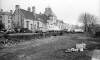
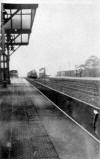
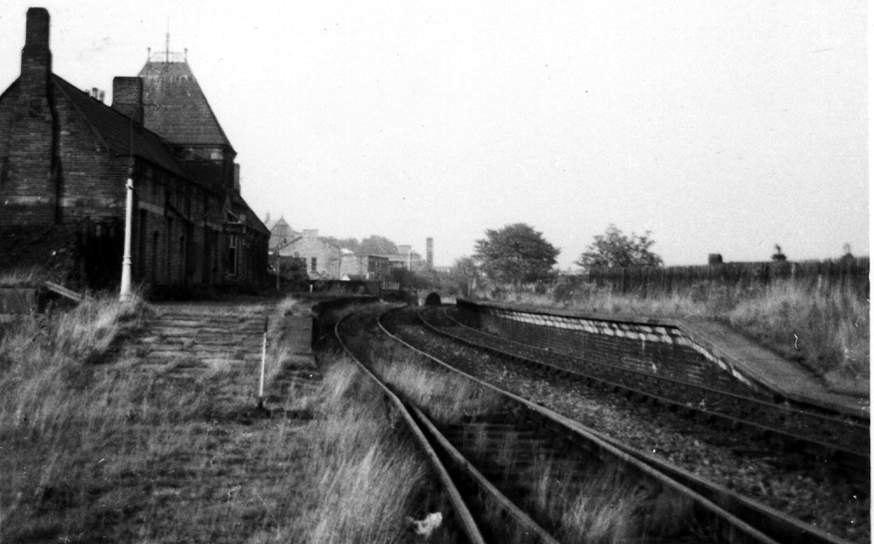
 Eccleshill Station (1967) : Bob Cockcroft Eccleshill Station (1967) : Bob Cockcroft
Eccleshill Station from south bound platform in 1967. The line was
opened in 1875 and operated a service to collect people from the Eastern
rim of Bradford.
The trams and trolley buses massacred this sort of service in terrain
like the Pennines. |
 Eccleshill
(1930) : Bob Cockcroft Eccleshill
(1930) : Bob Cockcroft
Train from under Eccleshill canopy in 1930. I had an Aunt who went on it
a few times, but the service stopped early in 1931 I believe.
The goods service was very lucrative because alternatives would be risky
given the brakes on lorries at the time.
There was a fair bit of manufacturing in the communities along the line. |
Harrogate Rd (25-09-12) : Malcolm Mallison
Line over Harrogate Rd, and site of Eccleshill Station,
completely gone. Embankment can be picked up, and walked, again at
Wharncliffe Rd. Photo shows bridge through embankment. |
 Woodhall
Rd (25-09-12) : Malcolm Mallison Woodhall
Rd (25-09-12) : Malcolm Mallison
Bridge over Woodhall Rd. |
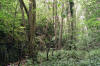
 Embankment (25-09-12) : Malcolm Mallison Embankment (25-09-12) : Malcolm Mallison
Under those trees is the embankment. |
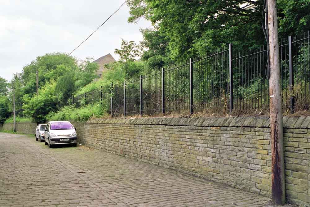
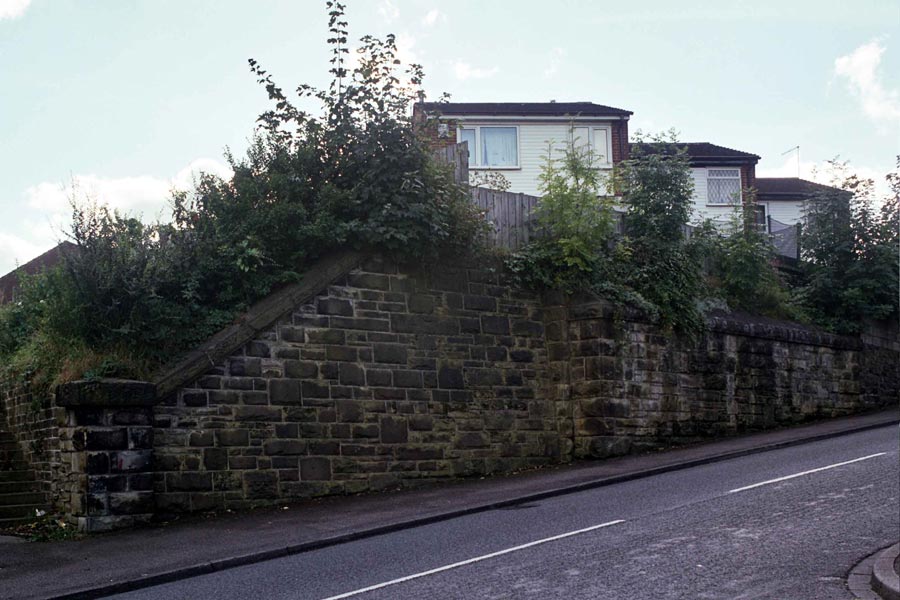
 A647
Bradford Rd (25-09-12) : Malcolm Mallison A647
Bradford Rd (25-09-12) : Malcolm Mallison
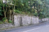
Parapet still extant on both sides of A647 Bradford Rd, which
implies railway was still running when road widened to dual
carriageway.
Photo shows south side. |
Quarry Gap Junction
& GNR Leeds Bradford - Laisterdyke Shipley Crossing
 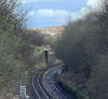 Quarry Gap
Junction & GNR Leeds Bradford - Laisterdyke Shipley crossing (13-03-21) : Ryan Tiffany Quarry Gap
Junction & GNR Leeds Bradford - Laisterdyke Shipley crossing (13-03-21) : Ryan Tiffany
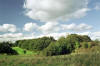
Quarry Gap was situated towards Laisterdyke on the Idle
Branch of the Great Northern. Anyway it is quite close to where I live
so took a walk to see what remains, there isn’t still a great deal to
see although the track bed seems to be buried under a huge amount of
landfill. The remains of the crossing are still there.
See also Leeds Bradford (GNR) |
Laisterdyke Station
/Laisterdike_small.JPG) Opened
20.8.1856 Closed 04-07-1966 Opened
20.8.1856 Closed 04-07-1966
Laisterdyke station map (1850) : Malcolm Mallison
Plans of station taken from 1850 6 inch to the mile map.
See also Ardsley Laisterdyke |
/012%20Laisterdyke_small.jpg) Laisterdyke
station map (1890) : Malcolm Mallison Laisterdyke
station map (1890) : Malcolm Mallison
6 inch maps from the 1890 survey. |
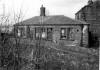
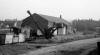
 Laisterdyke Station (c1960) :
Dennis Sefton Laisterdyke Station (c1960) :
Dennis Sefton
Facing west towards Bradford. |
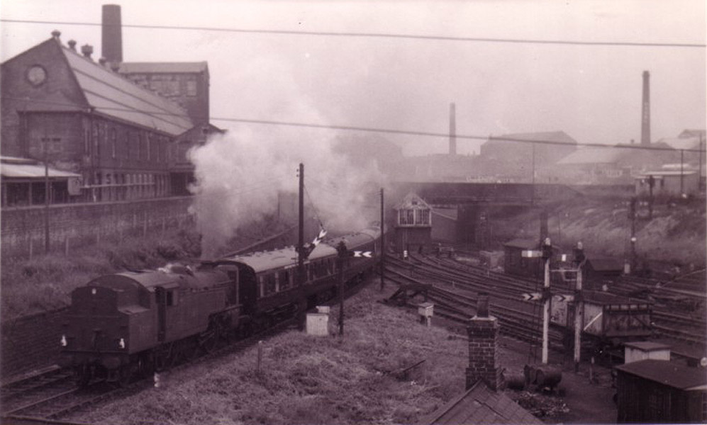
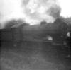
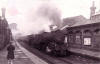
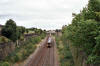
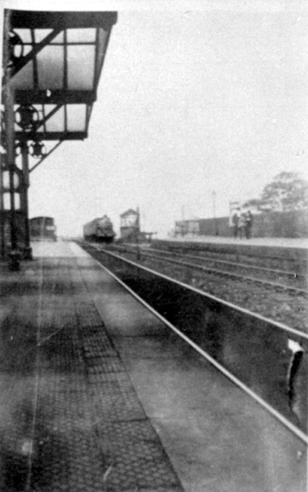
 Laisterdyke
East Junction (c1960) :
Dennis Sefton Laisterdyke
East Junction (c1960) :
Dennis Sefton
The train on the left is taking the line to Cutlers
junction.
The tracks on the right lead off to Quarry Gap junction &
Leeds, via Pudsey & Stanningley. |
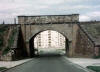
  Laisterdyke station (nd) : Malcolm Mallison Laisterdyke station (nd) : Malcolm Mallison
Site of station from road bridges. Not a solitary remnant
of the station can be seen. |
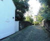
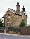 Laisterdyke station (nd) : Malcolm Mallison Laisterdyke station (nd) : Malcolm Mallison
Station House on New Lane, now rather marooned in
post-industrial desert.
Note : Nicholas Kaye
The old station house that overlooked the station has now
been demolished and modern houses built on the land.
There is now nothing left of what was a grand and busy station. |
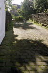
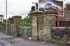 Laisterdyke station (nd) : Malcolm Mallison Laisterdyke station (nd) : Malcolm Mallison
Presumed entrance on Laisterdyke. |


/032%20Thackley.jpg)


/018%20Idle.jpg)


/019%20Eccleshill.jpg)


/Laisterdike.JPG)
/012%20Laisterdyke.jpg)